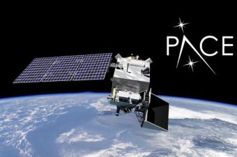
NASA’s PACE (Plankton, Aerosol, Cloud, ocean Ecosystem) satellite, launched in February 2024, entered a new operational phase in April 2026. It uses hyperspectral imaging to detect air pollutants globally with high precision, extending beyond its original ocean health mission.
Hyperspectral Fingerprinting and Source Identification
PACE’s Ocean Color Instrument (OCI) captures light across ultraviolet to shortwave infrared (340–2260 nm), enabling identification of pollutant spectral signatures such as nitrogen dioxide (NO₂) with approximately 1 km resolution. It can differentiate pollution sources, including individual highways, power plants, and shipping lanes, unlike older satellites that detected only general haze.
Dual-Satellite Monitoring Approach
PACE operates alongside NASA’s TEMPO (Tropospheric Emissions: Monitoring of Pollution) mission, which provides hourly pollution data over North America. PACE complements TEMPO by delivering high-resolution global snapshots, crucial for pinpointing stationary emission sources worldwide.
Aerosol Characterisation Capabilities
PACE carries two polarimeters, SPEXone and HARP2, to measure aerosol size, shape, and composition. This allows it to distinguish natural aerosols, such as Saharan dust, from man-made pollutants like industrial soot.
Tracking Transboundary Pollution
PACE measures smoke injection heights to predict plume travel distances, currently applied to agricultural fires in Southeast Asia (Thailand, Laos, Vietnam). It identifies chemical compositions to trace pollution origins across borders. The satellite provides global data every 1–2 days, enabling real-time monitoring of emissions and illegal practices.
What to Study for UPSC Exams?
- Hyperspectral Remote Sensing
- Transboundary Air Pollution
- Satellite Pollution Monitoring
- Aerosol Characterisation Techniques
Hyperspectral Remote Sensing
Hyperspectral remote sensing captures data across hundreds of narrow, contiguous spectral bands, enabling detailed material identification. It detects subtle differences in surface composition invisible to multispectral sensors. Applications include mineral mapping, vegetation health, and pollution detection. Instruments often cover ultraviolet to shortwave infrared ranges, providing precise spectral fingerprints for diverse substances.
Transboundary Air Pollution
Transboundary air pollution involves pollutants traveling across political borders via atmospheric transport. Key pollutants include sulfur dioxide, nitrogen oxides, and particulate matter. It complicates regulation due to differing national policies. Monitoring relies on satellite data and ground stations to track plume movement and chemical transformations over long distances.
Satellite Pollution Monitoring
Satellite pollution monitoring uses spaceborne sensors to measure atmospheric gases and aerosols globally. Techniques include passive spectroscopy and active lidar. It enables detection of urban smog, wildfire smoke, and industrial emissions with spatial resolutions from kilometers to meters. Satellites provide frequent, large-scale data critical for air quality assessment.
Aerosol Characterisation Techniques
Aerosol characterisation involves measuring particle size, shape, composition, and optical properties. Techniques include polarimetry, nephelometry, and mass spectrometry. Polarimeters analyze scattered light polarization to distinguish natural dust from anthropogenic soot. Characterisation informs climate modeling and health impact assessments.
Last Modified: April 11, 2026