Geospatial Technologies
Geospatial technologies encompass tools and methods for collecting, analysing, and visualising geographic data. They include Geographic Information Systems (GIS), remote sensing, and global positioning systems (GPS). These technologies enhance decision-making in various fields. They are vital for urban planning, environmental monitoring, and disaster management. In India, they support agricultural development and infrastructure planning. Their applications are transforming how we understand and interact with our world.
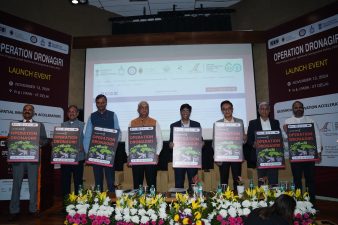
Operation Dronagiri is a new initiative aimed at leveraging geospatial technologies to enhance the quality of life for citizens in India. Launched on 13 November 2024 by Professor...
November 15, 2024