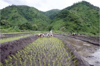
LULC Mapping stands for Land Use and Land Cover Mapping. It involves the classification of land areas based on their use and cover types. This process aids in understanding environmental changes. It is crucial for urban planning and resource management. Accurate LULC data supports sustainable development. It also helps in monitoring agricultural practices and forest conservation efforts.
The Indian Space Research Organisation (ISRO) completed high-resolution Land Use and Land Cover (LULC) mapping for India on 26 April 2026, which is National Panchayati Raj Day. The...