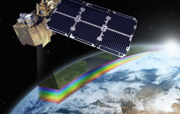
Remote sensing involves the acquisition of information about an object or area from a distance. It uses satellite or aerial imagery. This technology is vital for mapping and monitoring land use. It aids in environmental studies and disaster management. Remote sensing also supports agriculture by assessing crop health. It plays a crucial role in urban planning and resource management.
Remote sensing may sound futuristic, but it has quietly become one of the most important tools shaping how humans understand, use, and protect the planet. By observing the...
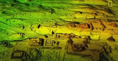
Recently, the use of Light Detection and Ranging (LiDAR) technology has revolutionised archaeological practices, revealing lost civilisations previously obscured by dense vegetation. Notably, a recently discovered Mayan city...