Landsat
Landsat is a series of Earth-observing satellites. They provide detailed images of the planet's surface. Landsat data aids in environmental monitoring. It supports land use planning and agricultural management. The programme has been vital for mapping changes over time. Researchers use Landsat for studying climate change impacts. Its contributions extend to urban development and natural resource management.
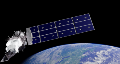
NASA launched an interactive online tool called “Your Name in Landsat” on 24 April 2026. The tool uses more than 50 years of Landsat satellite imagery to find...
April 25, 2026