Satellite data refers to information collected by satellites orbiting the Earth. It includes images, measurements, and other data types. This data is crucial for various applications. It aids in weather forecasting, environmental monitoring, and urban planning. Researchers and governments utilise satellite data for informed decision-making. It plays a significant role in understanding climate change and managing natural resources effectively.
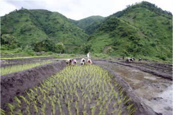
The Indian Space Research Organisation (ISRO) completed high-resolution Land Use and Land Cover (LULC) mapping for India on 26 April 2026, which is National Panchayati Raj Day. The...
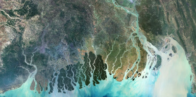
India’s major river deltas — among the most fertile, densely populated, and economically productive regions — are steadily sinking. A new global study shows that this subsidence is...